Main Geographical Features of Kuwait
Kuwait is located at the northwestern corner of the Arabian Gulf, where desert landscapes meet a strategic coastal shoreline. Although relatively small, Kuwait’s geography has strongly shaped its history, settlement, water resources, and economic development.
🌍 Location & Size
| Feature | Details |
|---|---|
| Region | Northeastern Arabian Peninsula |
| Borders | Iraq (north & west), Saudi Arabia (south) |
| Coastline | ~499 km (310 miles) along the Arabian Gulf |
| Total Area | ~17,818 km² (6,880 sq mi) |
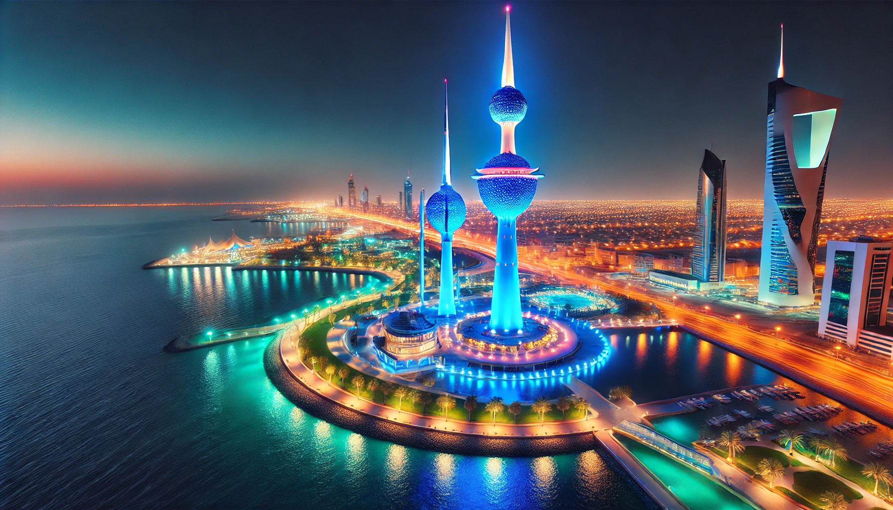
| Capital | Kuwait City, located on Kuwait Bay |
Kuwait’s position at the head of the Gulf historically made it a trade and maritime hub.
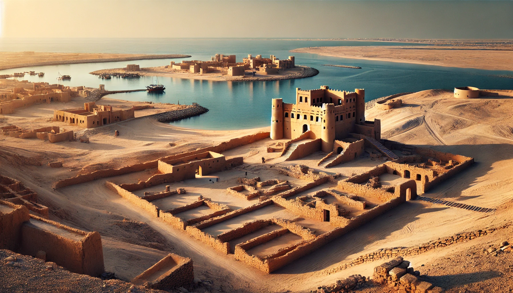
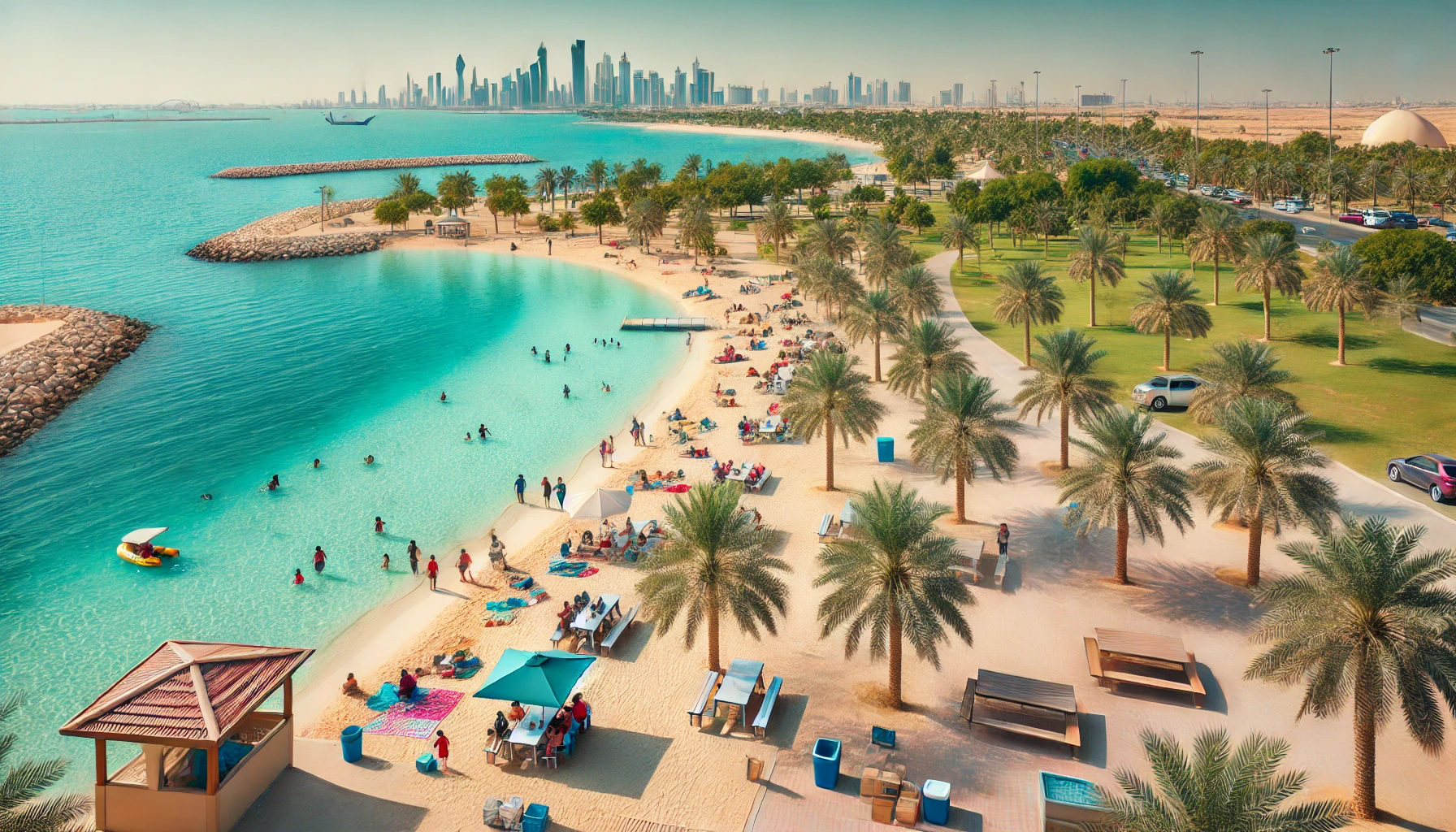
🏝️ Coastline, Islands & Kuwait Bay
Kuwait has nine main islands, though most are uninhabited.
| Island | Notable Features |
|---|---|
| Bubiyan Island | Largest island; connected to mainland by bridge |
| Failaka Island | Archaeological sites + former settlements |
| Warbah Island | Near Iraq border; restricted use |
| Other islands | Miskan, Auhah, Umm an-Namil, Umm al-Maradim, Kubbar, Qaruh |
Kuwait Bay
-
A shallow, semi-enclosed inlet deeply indenting the coastline
-
Provides harbor protection and influenced the placement of Kuwait City
The coastal zone is central to Kuwait’s fishing, trade routes, maritime identity, and recreation.
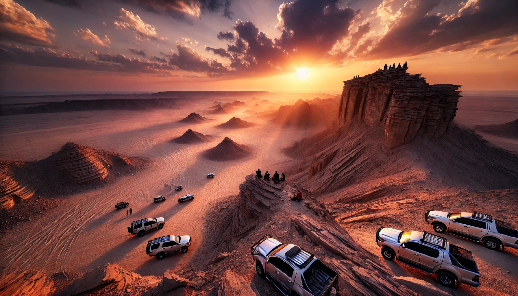
🏜 Terrain & Landforms
Kuwait is primarily a flat desert plain with subtle elevation changes.
| Geographical Feature | Description |
|---|---|
| Terrain | Sandy & gravel desert, low vegetation |
| Highest Point | ~300 m (984 ft) above sea level (unnamed hill in the west) |
| Mutla Ridge | Most prominent visible ridge (~142 m) north of Kuwait Bay |
| Wadis (dry valleys) | Seasonal flood channels — particularly Wadi al-Batin along the western border |
No mountains, rivers, or lakes — Kuwait’s landscape is shaped by wind erosion, dune systems, and sedimentary plains.
💧 Water Resources & Desalination
Kuwait has no permanent freshwater rivers or lakes.
| Source | Purpose |
|---|---|
| Desalination plants | Main provider of drinking water |
| Al Rawdatayn aquifer | Only significant natural freshwater reservoir |
| Brackish groundwater | Used regionally for limited agricultural/horticultural use |
Kuwait was one of the first countries in the world to adopt large-scale desalination.

☀️ Climate & Weather Patterns
| Type | Characteristics |
|---|---|
| Climate | Extremely arid desert climate |
| Summer | Very hot; often 45°C+ (113°F+) |
| Winter | Mild days, cool nights |
| Winds | “Shamal” northwesterly winds → frequent dust & sandstorms |
| Rainfall | Low & seasonal; occasional flash floods in wadis |
Climate strongly influences living patterns, agriculture, and energy demand.
🌿 Ecosystems, Vegetation & Wildlife
Despite harsh climate, Kuwait has distinct ecological zones:
-
Desert plains with drought-tolerant shrubs and grasses
-
Salt marshes and mudflats around Kuwait Bay supporting migratory birds
-
Marine ecosystems supporting fish, shrimp, coral, and sea turtles
Examples of native wildlife include:
-
Arabian desert hedgehog
-
Sand gazelle (reem)
-
Lizards, desert snakes, and migratory birds
🛢 Natural Resources
The country’s greatest natural resource is oil — especially in the Burgan oil field, one of the largest proven oil fields in the world.
📝 Summary Table: Kuwait at a Glance
| Category | Description |
|---|---|
| Region | Arabian Peninsula |
| Landscape | Flat desert, low ridges, wadis |
| Water Sources | Desalination + limited aquifers |
| Climate | Hot desert climate, dust storms |
| Coastline | Long Gulf shoreline + key islands |
| Natural Resources | Petroleum & natural gas |
❓ Frequently Asked Questions
Q1. Does Kuwait have rivers or lakes?
No — Kuwait has no permanent freshwater rivers or lakes.
Q2. What is the most distinctive physical feature of Kuwait?
Its flat desert landscape and coastal bay (Kuwait Bay).
Q3. Why is desalination important in Kuwait?
Because the country lacks natural freshwater sources, making desalination critical for drinking water.
Q4. What island is most historically significant?
Failaka Island — known for archaeological remains dating back to the Bronze Age and Greek settlements.

📚 Sources & References
| Source | Link |
|---|---|
| Wikipedia – Geography of Kuwait | https://en.wikipedia.org/wiki/Geography_of_Kuwait |
| Index Mundi – Kuwait Geography Profile | https://www.indexmundi.com/kuwait/geography_profile.html |
| Kuwait Government Portal – Topography | https://www.e.gov.kw/sites/kgoEnglish/Pages/Visitors/AboutKuwait/KuwaitAtaGlaneTopography.aspx |
| GIS Geography – Kuwait Maps & Data | https://gisgeography.com/kuwait-map/ |
| Nation Encyclopedia – Kuwait Geography | https://www.nationsencyclopedia.com/geography/Indonesia-to-Mongolia/Kuwait.html |